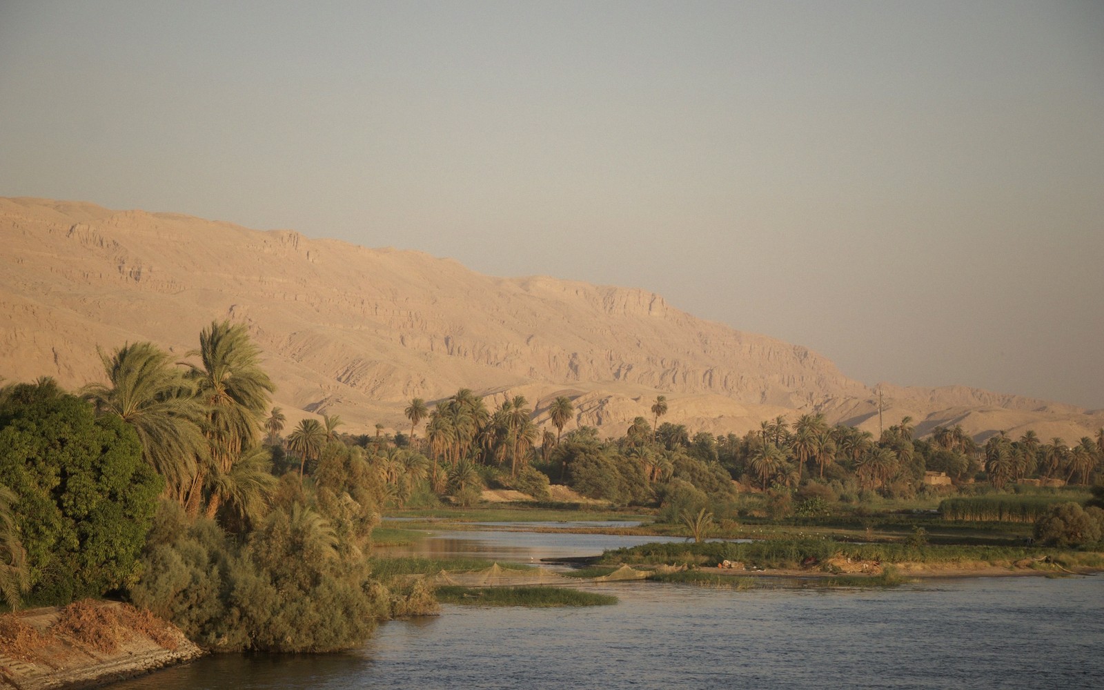
01A Current That Runs Both Ways
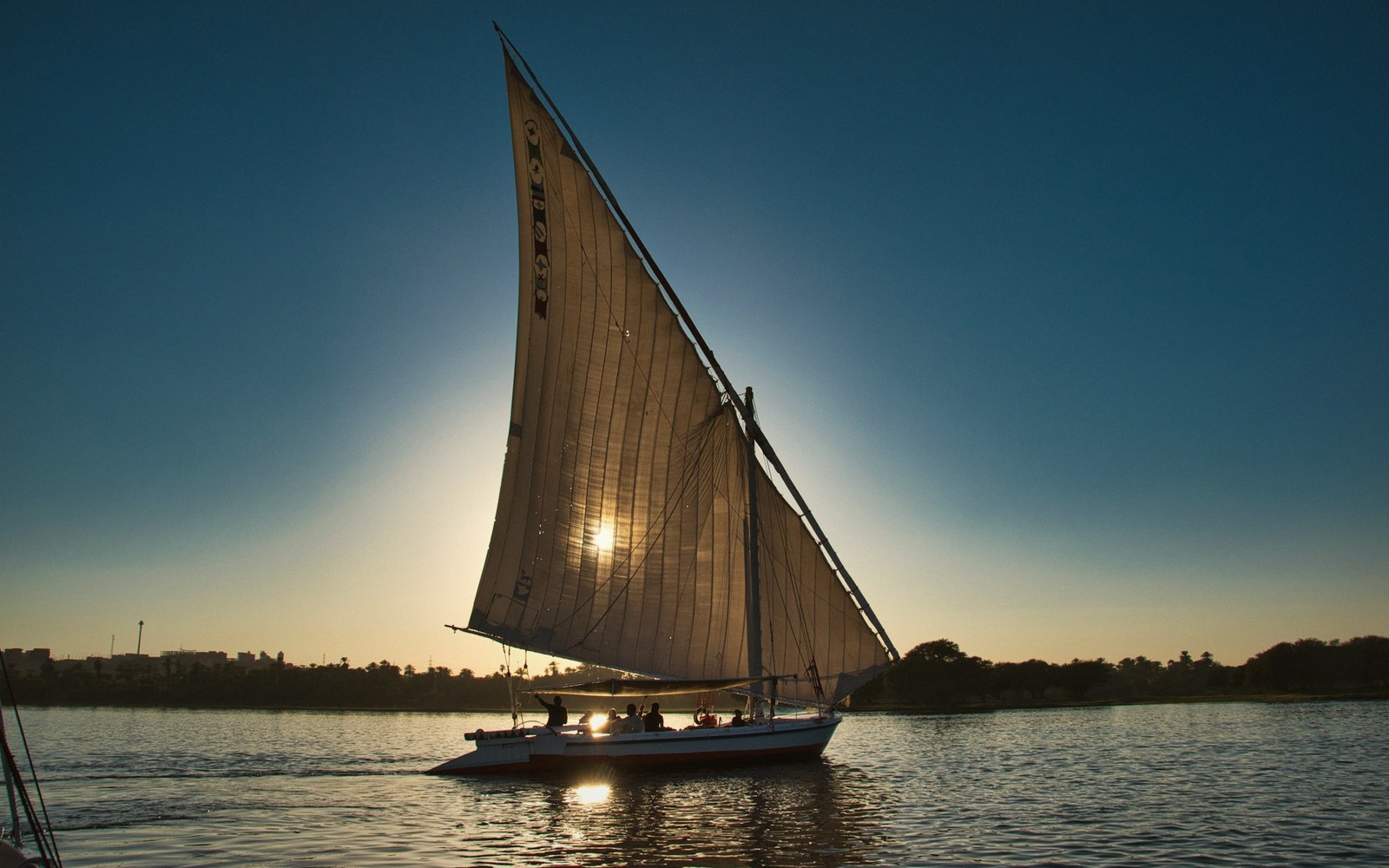
Egypt has no roads in the ancient sense. What it has — what it has always had — is a river four thousand miles long that flows north to the Mediterranean while the prevailing wind blows reliably from the north. The result is a gift of physics that engineers would struggle to improve on: you float downstream on the current and sail upstream on the wind, turning around whenever you choose, at almost no cost. The Nile was not a feature of Egyptian civilization. It was the mechanism by which civilization became possible.
The ancient Egyptians understood this so completely that their word for "going south" — khenet — meant travelling into the current, and their word for "going north" — khedj — meant going with it. Direction was hydraulic before it was geographical. The very layout of the Nile Valley, a corridor rarely more than a few kilometres wide between the river and the desert cliffs, meant there was nowhere else to build, travel or trade. The Nile was both the only road and the only reason a road was needed: it connected the agricultural strip to itself, end to end, and connected Egypt to Nubia and the wider world beyond.
What made the river exceptional as a highway was its reliability. The annual inundation — the flood that Egyptians called Akhet, the first season of their year — arrived with sufficient regularity to anchor an entire calendar. When the water retreated each autumn, it left behind a skim of mineral-rich silt, the basis of the most productive agriculture in the ancient world. Grain fed cities; cities required administration; administration required communication; communication required the river. The whole loop closed around the water.1
02Where Everything Got Built, and Why
Spend a day on the river between Luxor and Aswan and the logic becomes visible. The temples do not sit at random. They cluster at points where the valley narrows or widens, where tracks from the desert meet the bank, where sandstone outcrops provided a landing or a quarry. Edfu stands at the river's edge on the west bank of a curve that made docking easy. Kom Ombo sits on a promontory where two branches of an ancient channel rejoined — a natural crossroads. Karnak's massive precinct at Luxor is set back just far enough from the flood plain to stay dry, connected to its river quay by a processional avenue that doubled as a ceremonial landing stage when the Nile rose high enough to flood it. The ritual geography and the practical geography were the same geography.
Stone was the governing factor in temple placement, and stone moved by water. The granite of Aswan — the hard pink and grey rock from which obelisks, sarcophagi and colossus figures were cut — could only leave the quarries by river. Blocks were loaded onto barges floated off the bank during high water, then carried downstream on the current to wherever the building was happening. An obelisk weighing hundreds of tonnes was, from the quarryman's point of view, primarily a logistics problem, and the Nile was the logistics solution. Temples were built where stone could arrive and where workers could be fed — both conditions satisfied by the same river.
The pyramid fields make the same argument from the north. Giza, Saqqara and the other Fourth and Fifth Dynasty sites are strung along the west bank of the Nile near what is now Cairo because that is where the edge of the Delta begins and the valley floor widens, and because Memphis — the administrative capital for most of the Old Kingdom — sat nearby. The labour and materials for the pyramids moved by water: limestone from Tura across the river, granite from Aswan, food from the agricultural estates of the Delta, all converging on the building sites along a system of causeways designed to meet the river at the flood quays. Saqqara, the oldest of the great necropolis sites, occupies a desert ridge directly above the ancient city it served, visible from the river for miles. The position was announcement as much as convenience.2
Abydos, the most sacred town in ancient Egypt — the burial ground of the earliest kings and the cult centre of Osiris — lies on the west bank of a wide reach of the Nile where the valley opens towards the cliffs. Pilgrims came by river from every nome in Egypt. The great processional festivals that replicated the mythological journey of Osiris were, in physical terms, boat journeys: the god's image travelled in a sacred barque, carried by priests and later floated on water. The divine geography of Egypt was a map of river routes dressed in religious language.
The divine geography of Egypt was a map of river routes dressed in religious language.
03The Logic of East and West
The Nile also imposed a symbolic geography that shaped where the living went and where the dead were buried. Because the sun rises in the east and sets in the west, the east bank came to be associated with life and the west bank with death — and the river was the boundary between them. With very few exceptions, the great necropolises sit on the west bank: the Valley of the Kings, the mortuary temples of the Theban west bank, the pyramid fields north of Memphis. Towns and temples of the living tend to cluster on the east bank, even when they face the river. Karnak faces west across the Nile towards the tombs; the mortuary temples face east back across it. The river was the membrane that kept the living and the dead in correct relationship with one another.
| Upstream — khenet | Downstream — khedj | |
|---|---|---|
| Power | Sail, working against the current | Current, with oars to steer |
| Heading | South, toward Nubia and the cataracts | North, toward Memphis, the Delta and the sea |
| Typical load | People, orders, garrisons | Granite, grain, building stone |
This was not merely symbolic. The logistics of the funeral industry — and it was an industry, employing embalmers, craftsmen, priests, architects and quarrymen for thousands of years — required a crossing point. Bodies were transported across the river by boat. The ferries that carried the dead were a recognised institution, reflected in religious texts describing the journey to the afterlife in the same terms as a river crossing: you bargained with a ferryman to take you to the other side. The mundane and the metaphysical shared the same vocabulary because they shared the same river.3
The Nile's role as a road also shaped which sites have survived and which have not. Settlements on the river's edge were vulnerable to both the flood and to the erosion of shifting channels. Alexandria barely preserves a trace of its ancient self in the ground because millennia of habitation and rising water tables dissolved it. Much of the Delta — once crowded with cities — is buried deep under silt or has vanished into the sea. The sites that endure are those far enough from the main channel to escape regular flooding but close enough to have been accessible by boat: the desert-edge cemeteries, the temples on raised ground, the rock-cut monuments like Abu Simbel built directly into the cliffs above the flood line. Distance from the water was safety; proximity to the water was everything else.
04The Road Still Runs
The river has not stopped being a road. Diesel engines have replaced wind and muscle, and asphalt now runs parallel to the bank for most of its Egyptian length, but the settlements, the towns, the archaeological sites and the agricultural fields remain exactly where the Nile put them. The strip of green visible from any aircraft crossing Egypt — two thin ribbons of cultivation flanking a bright line of water in a sea of pale desert — is the same strip that was cultivated, navigated and contested five thousand years ago. Nothing has widened it. Nothing has moved it.
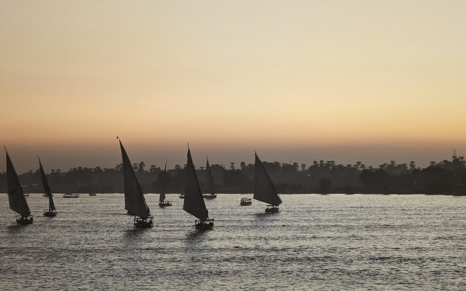
What has changed is that most travellers now rush past it on air-conditioned coaches or pass over it at altitude, glimpsing the river from a distance. The Nile's logic — why the temples sit where they sit, why the tombs face the way they face, why every city in Egypt is exactly where it is — becomes legible only when you are on the water, moving at the pace the current sets. Then the whole long corridor resolves into something that makes immediate sense: a road, with everything it needed stacked up along its edges, preserved in stone, waiting to be read.
Chronology
- Old Kingdom (c. 2686–2160 BCE)pyramid-building era; Memphis was the administrative capital
- Early Dynastic Period (c. 3100 BCE onward)earliest kings buried at Abydos
- New Kingdom (c. 1550–1070 BCE)Valley of the Kings in use; great Theban temples built or expanded
Named in this guide
Memphis
ancient capital of Egypt near modern Cairo; administrative hub of the Old Kingdom
Theban west bank
necropolis area opposite Luxor including the Valley of the Kings and mortuary temples
Tura
ancient limestone quarry on the east bank of the Nile near Cairo
Osiris
Egyptian god of the dead; his cult centred at Abydos
Notes
- 1
Downstream is north. On an Egyptian map Upper Egypt sits at the bottom — the country is filed by the current, not the compass. ↩
- 2
The east–west rule has exceptions. Where it breaks, look for a local reason: a quarry, a landing, a bend in the channel. ↩
- 3
Nothing has widened the green strip. What was cultivated five thousand years ago is cultivated now. ↩