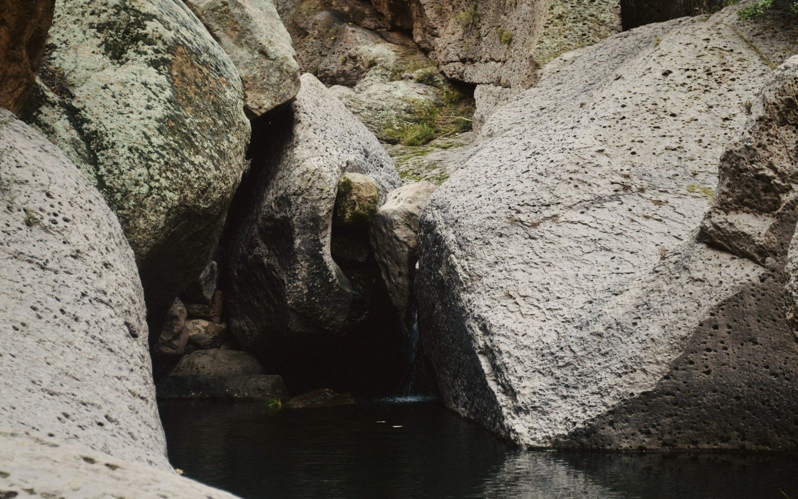
Where the Nile runs over granite and Egypt's south begins — and where the rock under the river shaped four thousand years of history.
To the ancient Egyptians, Aswan was not just a border town. It was the place where the world became comprehensible: a wall of pink granite rose from the river, the cataracts churned the water white, and beyond lay Nubia — another country, another people, a different desert. The city sits at the First Cataract, a zone of rapids and exposed bedrock where the Nile cuts across a band of granite that reaches up through the riverbed. The rock has been there for roughly 600 million years. The Egyptians, who had no way of knowing that number, simply knew the stone was unlike anything else in their landscape, and they quarried it for three thousand years.
That granite — pink, grey and rose-coloured, famously hard — built obelisks at Karnak, lined the burial chambers of Old Kingdom pyramids, and was floated downriver on annual flood waters to construction sites hundreds of kilometres north. The quarries remain on the east bank of the river just south of the modern city, and the most famous single object in them is still in the ground: the Unfinished Obelisk, a monolith that would have stood around 42 metres tall and weighed over 1,000 tonnes. A crack appeared during cutting, and the whole project was abandoned where it lay. The crack, and the chisel marks still visible along the shaft, tell us more about how the Egyptians worked stone than almost any finished monument.1
01Elephantine, the Nilometer and the Island in Between
The First Cataract begins here, but the city of Aswan arranges itself around something equally distinctive: the islands. Elephantine Island sits in the middle of the river, large enough to have held a substantial town since at least the Early Dynastic Period. Its name in ancient Egyptian, Abu, meant both elephant and ivory — the island was a trading post for goods coming up from sub-Saharan Africa long before the New Kingdom made Nubia a formal province. The ruins of the ancient town at Elephantine's southern tip include temples dedicated to Khnum, the ram-headed god who was said to fashion humankind on a potter's wheel, and Satet, guardian of the cataract. Neither temple survives to its original height, but the stratified remains below them represent one of the longest continuous occupation sequences in Egypt.
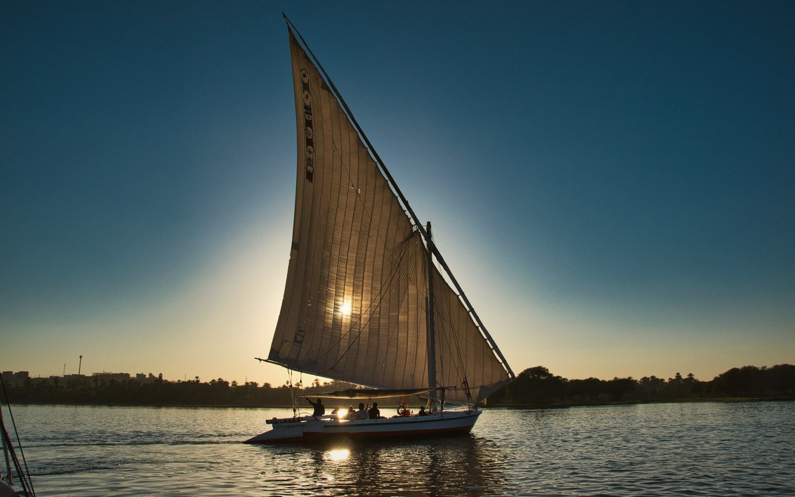
On the eastern side of the island, one of the best-preserved Nilometers in the country is cut into the rock. A Nilometer is simply a calibrated staircase or column descending to the river, designed to measure the inundation height. At Elephantine, the readings were consequential: priests and administrators recorded flood levels here and then sent the data north, since the cataract was the first point at which the Nile's annual rise could be measured. Too low a flood meant drought and famine; too high meant destruction. The Nilometer is still readable; the gradations along the shaft and its stairwell walls survive in good condition.
On the eastern side of the island, one of the best-preserved Nilometers in the country is cut into the rock.
Kitchener's Island, smaller and immediately to the west, is less ancient in character but worth crossing to for a different reason: it was planted as a botanical garden in the late nineteenth century and its palms and tropical trees now form a green canopy that has become part of the landscape. From its western shore, the view back across the water toward Elephantine and the west bank dunes is one of the quieter pleasures of the Aswan reach.2
02The West Bank and the Desert Behind It
On the west bank, the land rises sharply into the Sahara. A line of rock-cut tombs belonging to the Governors of Upper Egypt, known in the pharaonic record as the nomarchs of the Elephantine nome, overlooks the river from a ridge. Dated to the Old and Middle Kingdoms, the tombs are plain by the standards of Luxor's painted chambers but striking for their position — carved directly into the cliff face, overlooking the cataract they administered. Across the bay at the foot of the cliffs lies the domed mausoleum of Aga Khan III, a much later structure and still a local landmark, while higher up the desert plateau holds the ruins of the monastery of St Simeon, a substantial and well-preserved mud-brick complex abandoned in the thirteenth century.
Just south of the main city, the Temple of Philae — now reassembled on Agilkia Island after being rescued from the rising waters of the first Aswan dam, in a salvage operation that preceded the better-known relocation at Abu Simbel — closes the chain of monuments. Philae is Ptolemaic and Roman in date, its carvings sharper than most temple reliefs because it was built late and buried in silt early. It is dedicated principally to Isis and remains one of the most complete temple complexes in Egypt, approached by water at dusk when the stone takes on the colour of the granite it stands beside.
Aswan is the point where the Nile's character changes and the land stops belonging entirely to its flood. The granite intrudes, the water quickens, and the desert closes in from both sides. That boundary — geographical, geological, historical — is what the city has always meant.
Chronology
- Early Dynastic PeriodElephantine established as trading post
- Old and Middle Kingdomsrock-cut nomarch tombs carved on west bank
- Ptolemaic and Roman periodsTemple of Philae constructed
- 13th century CEMonastery of St Simeon abandoned
- Late 19th/early 20th centuryAswan dam built; Philae partially submerged; botanical garden planted on Kitchener's Island
- Mid-20th centuryPhilae temples dismantled and rebuilt on Agilkia Island
Named in this guide
Elephantine Island
ancient island town in the Nile at Aswan; administrative and religious centre since earliest times
Khnum
ram-headed deity, patron of Elephantine and the cataract
Satet
goddess of the First Cataract, protector of the inundation
Agilkia Island
artificial island raised and shaped to receive the Philae temples