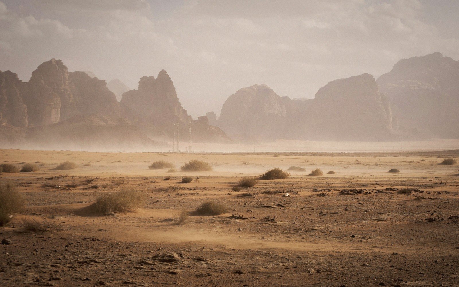
Granite peaks, a desert monastery and the country's other coastline — Sinai is neither purely African nor purely Asian, and that in-between quality defines every mile of it.
Sinai is a triangle of land pinched between two narrow gulfs — the Gulf of Suez to the west and the Gulf of Aqaba to the east — and attached to Africa only by geography, not geology. The southern third is ancient basement rock: Precambrian granite and sandstone worn into jagged ridges that run to over two thousand metres. The northern two-thirds flatten into a limestone plateau and then a coastal strip of dunes facing the Mediterranean. These are essentially three different countries compressed into one peninsula, and most visitors see only the southern tip.
That southern granite massif is among the most dramatic landscapes in Egypt. The peaks are bare and red-ochre in morning light, streaked darker where basalt has intruded into the granite, and the valleys between them hold almost nothing — a few acacia, an occasional flash of green where a spring pushes through. The mountain known in Arabic as Jabal Musa, and identified since at least the Byzantine period as the biblical Sinai, rises to 2,285 metres. It is not the highest peak on the peninsula — nearby Jabal Katarina is higher, at 2,629 metres, and is in fact the highest point in Egypt — but Jabal Musa draws the most visitors, almost all of them climbing at night by torchlight to catch the sunrise from the summit. The path is straightforward, the last stretch up a staircase of some seven hundred steps cut into the rock. The panorama at the top, granite ranges folding into each other in every direction, justifies the early hour.1
01The Monastery in the Mountain
At the foot of Jabal Musa, encircled by walls thick enough to suggest a fortress, sits St Catherine's Monastery. Founded in the sixth century CE under the Byzantine emperor Justinian, the monastery has been in continuous use for roughly fifteen hundred years, making it one of the oldest functioning Christian communities in the world. Its principal church, the Basilica of the Transfiguration, preserves a sixth-century mosaic in the apse that is exceptional in quality and survival: most comparable mosaics elsewhere in the Byzantine world did not endure the centuries as well. The monastery also holds one of the most significant collections of early manuscripts outside the Vatican, including texts in Greek, Arabic, Syriac and other languages accumulated over a millennium and a half of pilgrimage traffic.
Visiting requires modest dress and respect for the community's schedule — the monastery is not a museum, and opening hours are limited. The famous burning-bush plant, a species of wild rose, grows in the monastery garden; cuttings from it have been taken to various places over the centuries, but the one in the garden is considered the original stock.2
Visiting requires modest dress and respect for the community's schedule — the monastery is not a museum, and opening hours are limited.
02The Aqaba Coast
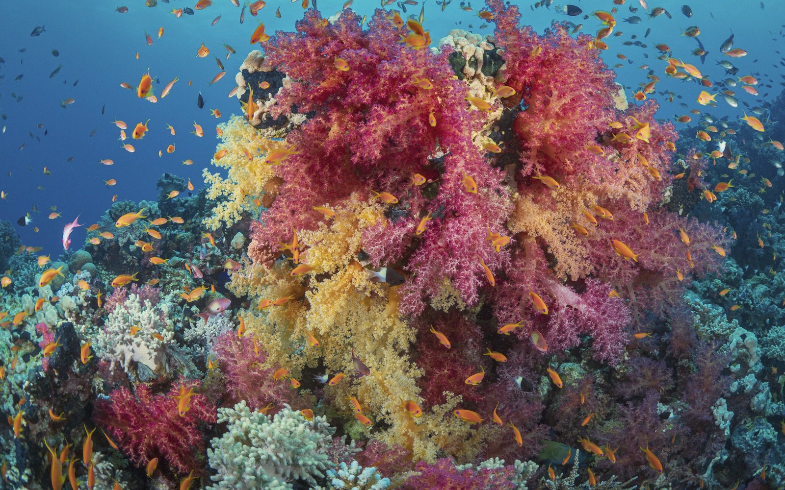
The eastern shore — the Aqaba coast, running down to the town of Sharm el-Sheikh and on to Dahab and Nuweiba — is where Sinai becomes a diving and snorkelling destination of genuine world standing. The same tectonic forces that cracked open the Red Sea created the Gulf of Aqaba as a continuation of the same rift, and the water is consequently very deep, very clear and very warm. Coral reefs begin almost at the waterline in places, and the drop-offs are steep enough that walls of hard and soft coral descend far beyond recreational diving range.
The reef at Ras Mohammed, at the peninsula's southernmost point, is protected as a national park and is often cited among the finest reef environments in the region. Where the Gulf of Aqaba meets the Gulf of Suez, strong currents bring nutrients that support an unusually dense food chain, and the fish life is correspondingly rich. The coral and water conditions of the broader Red Sea are covered separately in this guide; the Aqaba coast shares those characteristics and, in some respects, intensifies them given the depth and clarity of the gulf.
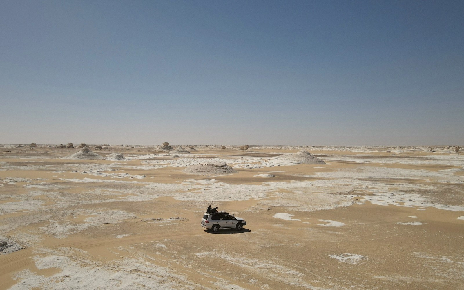
Between the mountains and the sea there is a middle landscape that most visitors skip: broad wadis running east to west, Bedouin settlements, date palms around small oases, and the occasional Nabataean inscription carved into a rock face, evidence that the overland route through Sinai was trafficked long before package tourism discovered the coast. That interior deserves more than a windshield glance from a transfer bus.
Chronology
- Sixth century CEJustinian founds St Catherine's Monastery
- Byzantine period onwardJabal Musa identified as the site of the biblical Sinai
- Continuous usemonastery occupied without interruption for roughly 1,500 years
Named in this guide
Jabal Musa
granite peak, 2,285 m, identified as biblical Mount Sinai since Byzantine times
Jabal Katarina
highest peak in Egypt at 2,629 m, southern Sinai
St Catherine's Monastery
sixth-century CE Byzantine monastery at foot of Jabal Musa, still active
Ras Mohammed
southern tip of Sinai; nationally protected reef and marine park