The fan of silt north of Cairo that feeds the country and swallows its oldest cities
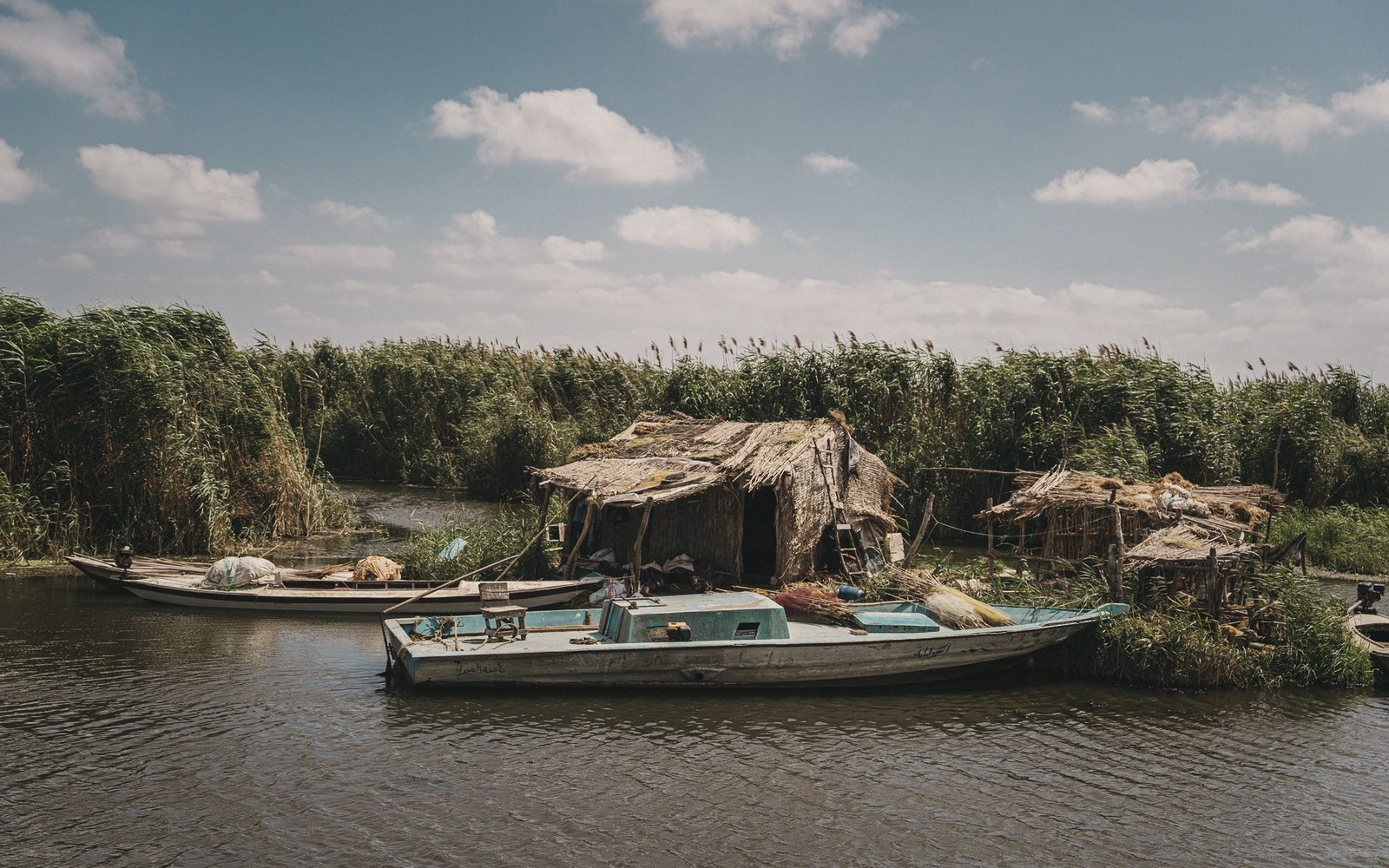
Egypt, in the popular imagination, is a strip of desert punctuated by temples. In reality, the Nile splits north of Cairo into a broad triangle of some twenty-two thousand square kilometres — one of the most intensely farmed landscapes on earth and home to roughly half the country's population. This is the Delta, and almost no independent traveller goes there.1
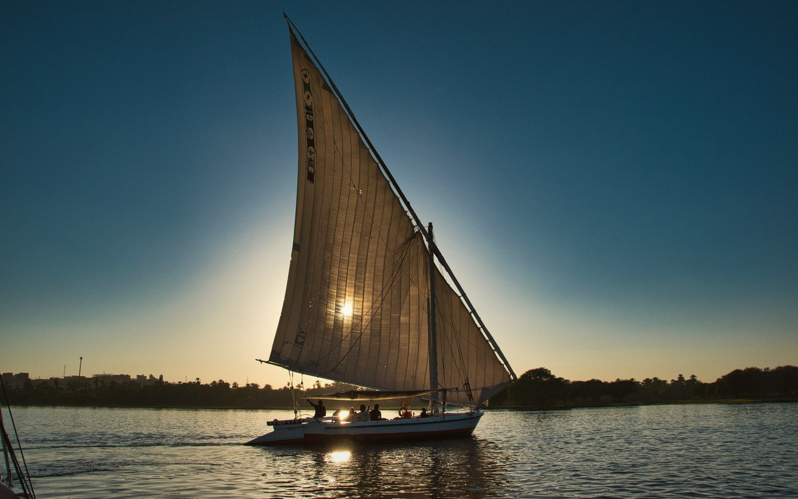
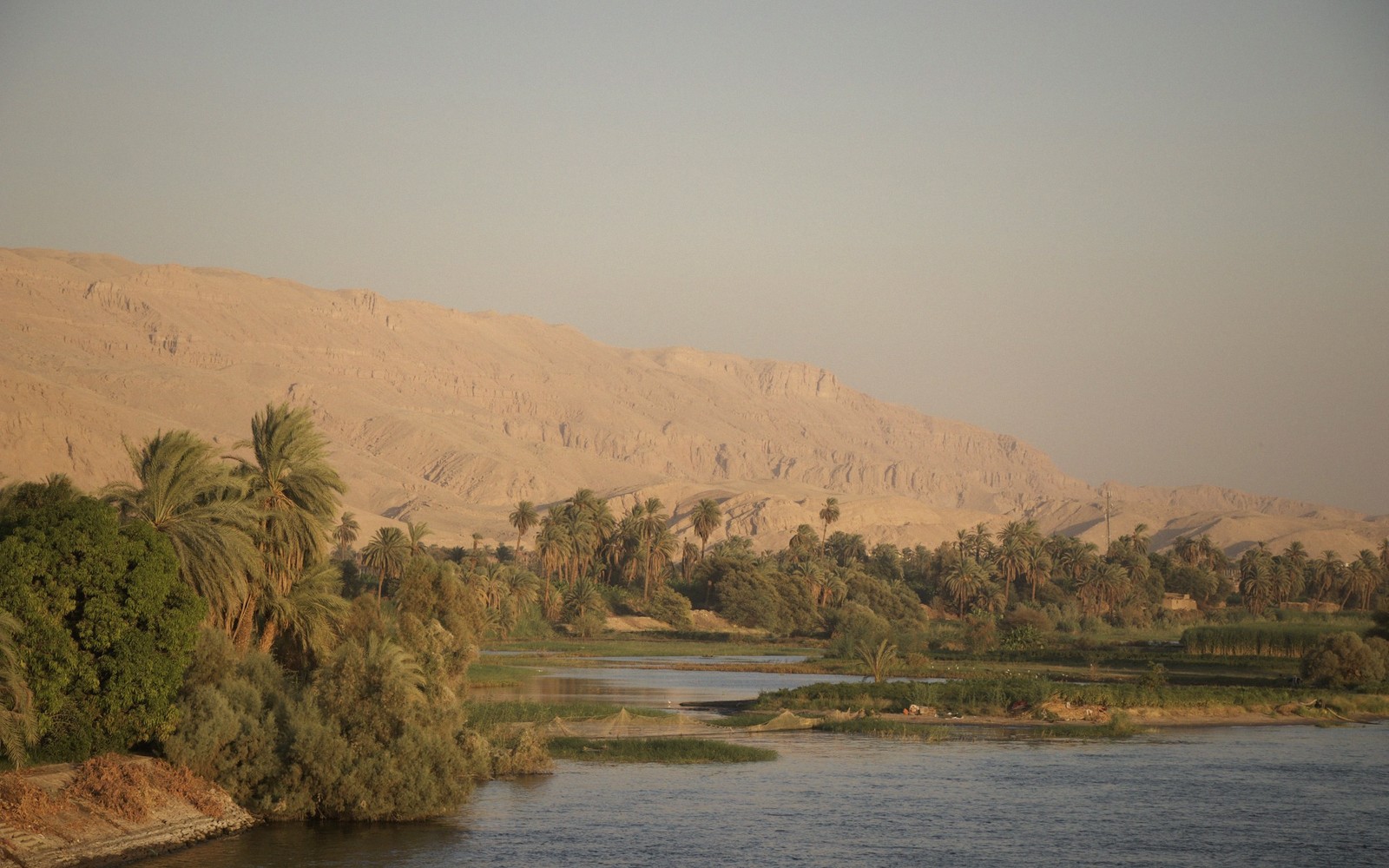
The land is almost entirely flat, stitched with irrigation channels, and relentlessly green wherever it is cultivated. The Nile once fanned out through seven distributary branches; today only two remain navigable — the Damietta arm to the east and the Rosetta arm to the west. The rest silted up or were diverted across the millennia.2
The land is almost entirely flat, stitched with irrigation channels, and relentlessly green wherever it is cultivated.
The paradox of the Delta is that it was enormously important in antiquity and is now largely invisible. Cities like Tanis, Bubastis and Avaris — capitals of dynasties, centres of trade — have been swallowed by the silt they were built on. The water table is high, excavation is difficult, and cultivation covers most sites. What survives tends to be fragmentary, but no less significant for that: Tanis, for instance, yielded royal tombs and jewellery that rival Tutankhamun's in craftsmanship.
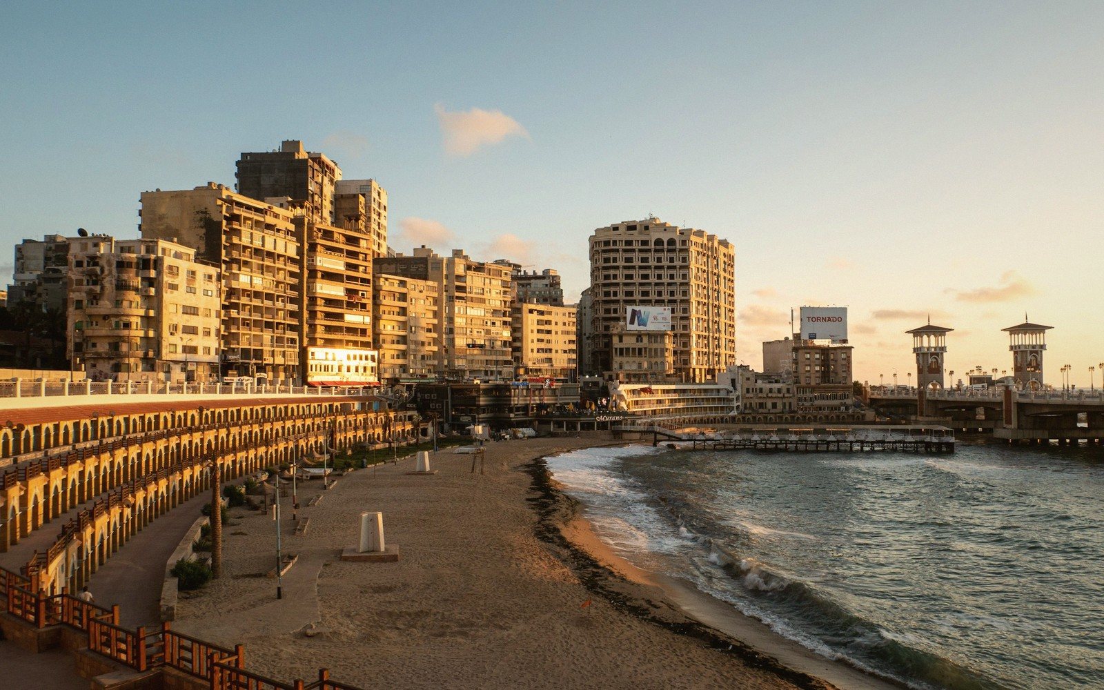
For the traveller, the Delta repays persistence. Alexandria anchors its northwestern coast. The city of Rosetta, near the western arm, is where the famous stone was found. Visiting requires adjusting expectations — this is not temple-hopping country. It is a different Egypt: dense, working, unglamorous and, for that reason, often more honest about what Egypt actually is.
Named in this guide
Tanis
ancient Delta city; site of royal tombs with exceptional surviving jewellery
Bubastis
ancient Delta capital, cult centre of the goddess Bastet
Avaris
Delta capital of the Hyksos rulers during the Second Intermediate Period
Damietta
eastern Nile distributary and the city at its mouth