The river as infrastructure
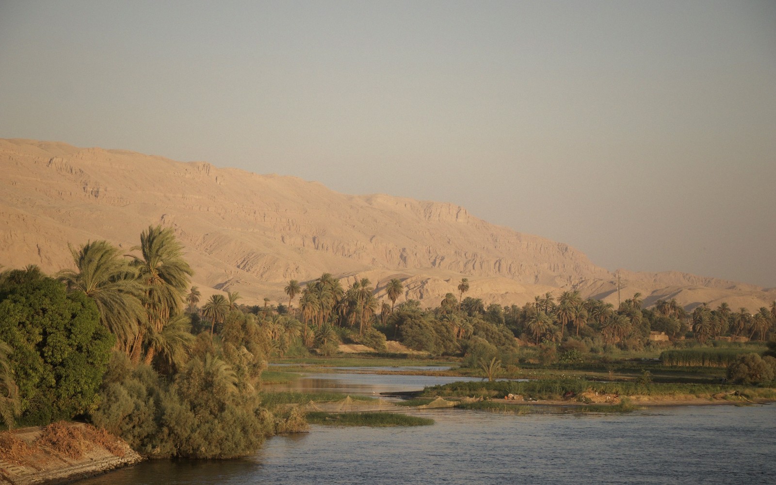
The Nile as a Road
For most of Egyptian history the river was the highway. How that shaped where everything got built.
Upstream
South. Sail power, against the current, toward Nubia and the cataracts.
Downstream
North. Current and oars, toward Memphis, the Delta and the sea.
The two banks
East for the living and the rising sun; west for the cemeteries.
The spine
The river, south to north
Sixteen stations on real coordinates, walked upriver. Note how the last two degrees carry Saqqara, Giza and Cairo — most of the Old Kingdom inside one short reach.
Abu Simbel
22.34°N 31.63°E- What it is
- A colossal facade cut from a cliff, then cut out of it again and rebuilt uphill.
- Era
- New Kingdom — Nineteenth Dynasty
- 01 Abu Simbel 22.34°N 31.63°E
- 02 Aswan 24.09°N 32.90°E
- 03 Kom Ombo 24.45°N 32.93°E
- 04 Edfu 24.98°N 32.87°E
- 05 Karnak & Luxor 25.72°N 32.66°E
- 06 Valley of the Kings 25.74°N 32.60°E
- 07 Dendera 26.14°N 32.67°E
- 08 Abydos 26.18°N 31.92°E
- 09 Hurghada 27.26°N 33.81°E
- 10 Bahariya Oasis 28.35°N 28.87°E
- 11 St Catherine, Sinai 28.56°N 33.98°E
- 12 Siwa Oasis 29.20°N 25.52°E
- 13 Saqqara 29.87°N 31.22°E
- 14 Giza 29.98°N 31.13°E
- 15 Cairo 30.04°N 31.24°E
- 16 Alexandria 31.20°N 29.92°E
Which era am I standing in?
All seven periods at once · c.2800 BC to now-
Old Kingdomc.2686–2160 BC
Pyramid building at Giza and Saqqara.
-
Middle Kingdomc.2055–1650 BC
Consolidation; Abydos becomes a pilgrimage centre.
-
New Kingdomc.1550–1070 BC
Karnak, Luxor and the royal tombs cut into the valley.
-
Late Period664–332 BC
Persian and native dynasties alternate.
No guide filed in this period yet — it turns up inside the temple pieces.
-
Ptolemaic332–30 BC
Greek rule; the temples at Edfu, Kom Ombo and Dendera.
-
Roman30 BC – AD 395
Egypt as a province; Alexandria at its height.
-
Islamicfrom AD 641
Cairo founded and rebuilt across a thousand years.
Gaps between the bars are the intermediate periods — the stretches when the country was governed from more than one place at once, and built less.
How to look
Reading a temple, front to back
One diagram explains almost every temple in the country. Read the full guide →
The gateway wall — the public face, usually the last thing built.
Newest first
Lately in the guide
 Ancient Sites
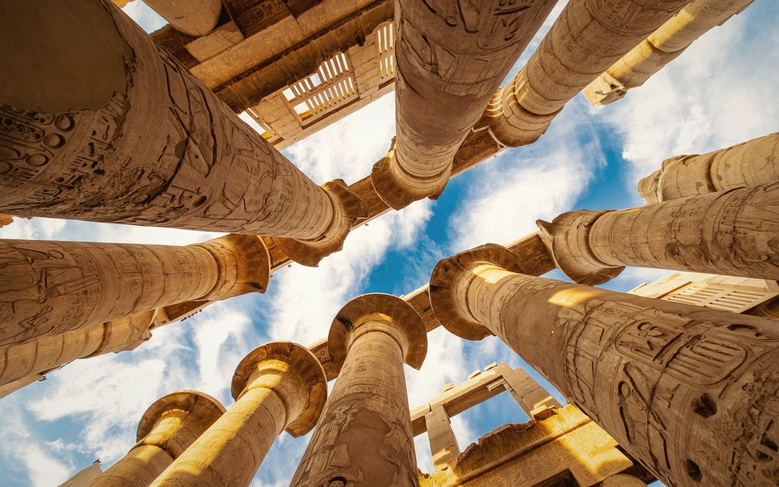
Reading a Temple, Front to Back
Pylon, court, hypostyle hall, sanctuary. Every temple is the same sentence in a different hand.
 Cairo & the Delta
Cairo's Islamic Quarter on Foot
A thousand years of mosques, gates and lanes in a walkable few kilometres.
 The Western Desert
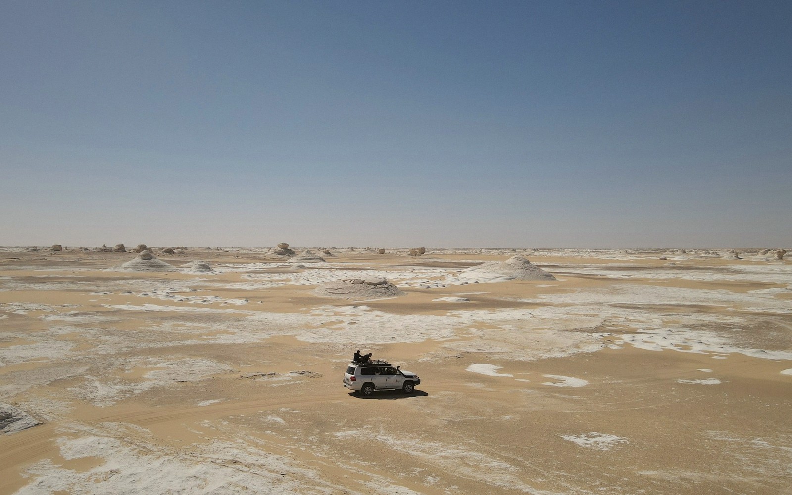
Into the Western Desert
Oases, escarpments and the emptiest ground in Egypt.
 Ancient Sites
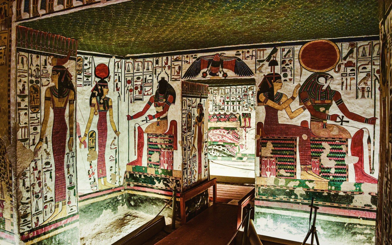
The Valley of the Kings
Why the tombs moved underground, and what is actually painted on the walls.
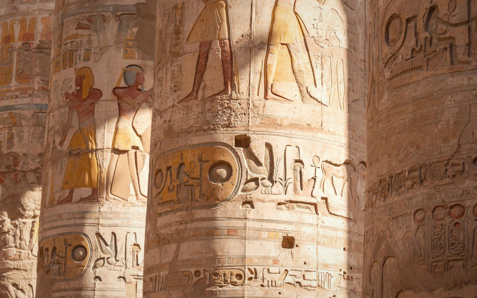 Ancient Sites
Karnak, and the Problem of Scale
Not one temple but a construction site that ran for two thousand years.
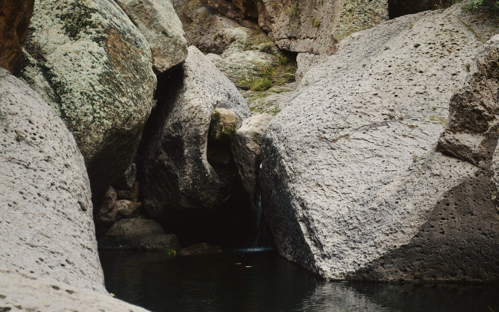 The Nile
Aswan and the First Cataract
Where the granite comes from and where Egypt's south begins.
 Ancient Sites
Giza, Beyond the Photograph
Three pyramids, a causeway, a quarry and a plateau that makes sense once you see the plan.
 Cairo & the Delta
How to Use the Museums
What is where, and how to see the important things without exhaustion.
The five sections
Where the guide is filed
The Nile
The river as road, border and reason.
4 guides → Section 02Ancient Sites
Temples and tombs, and how to read them.
8 guides → Section 03Cairo & the Delta
The living cities and their layered quarters.
4 guides → Section 04The Red Sea
Reef, mountain and the eastern coast.
2 guides → Section 05The Western Desert
Oases and the empty quarter.
2 guides →When the heat and the light actually work
Season band · evergreenCool months. The comfortable window; strong light, busy sites. The light that makes a sunk relief readable is low light.
Shoulder. Warm but workable; mornings are the whole day. Start at opening and stop at noon.
High heat. Southern sites become punishing after mid-morning. The desert loses it all again after dark.


